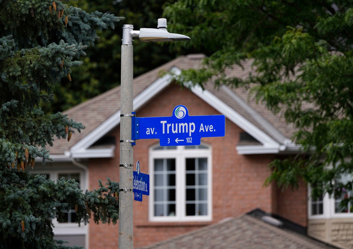
Following Trump's executive order, Ottawa officials are considering renaming Trump Avenue, a residential street named after the president, with suggested replacements including "Taco Avenue" amid ongoing U.S.-Canada trade tensions. Geographic names in Canada are approved by provincial and territorial naming authorities and the Geographical Names Board of Canada. While the federal government maintains the Canadian Geographical Names Database, decisions to rename most lakes, islands, mountains and other features typically originate with the relevant provincial or territorial authority and often involve consultation with local communities, Indigenous groups and other stakeholders.
Official Canadian records show several geographic features bearing the Trump name across the country, including lakes, islands and waterways, mainly located in Ontario and Newfoundland and Labrador. Most are not connected to Trump or his family and generally predate his political career. The landmarks include the Trump Islands, a pair of small islands in Notre Dame Bay off Newfoundland's northeast coast.
The islands, known as North Trump Island and South Trump Island, were once the site of a small mining and fishing community of a couple dozen residents in 1901 before being abandoned in the early 20th century. They are uninhabited, but locals visit the islands for cookouts, serenity and hikes. Some bodies of water share the name, such as Trump Lake in Ontario, as well as East Trump Lake, West Trump Lake, and Trump Creek, all of which are located in the province.
Unlike lakes, islands and waterways listed in the federal geographical names database, municipal street names are governed locally and can be changed through city processes. Ten officially named features in the federal gazetteer — four lakes, three islands, a creek and two abandoned settlements — plus one Ottawa street. Neither settlement is inhabited today.
Select any marker for its record. Select a marker or a name below to see its record. Source: Canadian Geographical Names Database, Natural Resources Canada; City of Ottawa.
Boundaries from Natural Earth.
Extract — continue reading at the source.