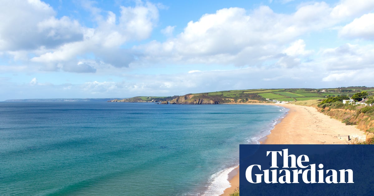
Tracking these changes over time is a labour-intensive task, and an army of citizen scientists with camera phones is a great asset. The CoastSnap project started in Australia in 2017 and has spread to beaches worldwide. You may have spotted the setup while out walking along the coast: a cradle to rest your phone on while taking a picture and a sign explaining where to send the snap.
Large waves and high tides remove sand from a beach, while gentler conditions deposit sand and build the beach up again. Sandbars migrate in and out, and change shape with the waves and tides. Some shifts are temporary, some permanent.
CoastSnap enables researchers to follow these changes day by day. The cradle ensures each picture is taken from roughly the same position and angle. Software aligns each photograph, then performs a geometric flip to transform it into a bird’s-eye view of the beach.
An algorithm maps the shoreline, correcting for the tide based on the timestamp. CoastSnap helps researchers track coastal erosion over time, see the changes caused by a particular storm, or monitor the effectiveness of beach replenishment schemes adding sand or shingle. There are now more than 200 CoastSnap stations in 21 countries, including the UK, constituting the largest coordinated, land-based coastal monitoring programme in the world.
Extract — continue reading at the source.


