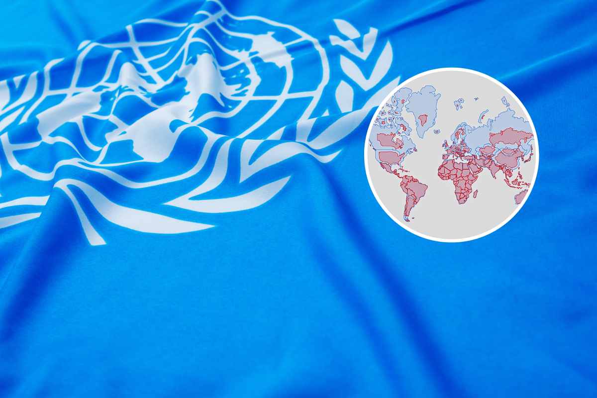
A world map familiar to generations of students could lose ground under an African-led effort to represent countries and continents in their correct relative proportions. The United Nations General Assembly is due to vote Friday on a resolution promoting the Equal Earth world map projection and other equal-area world maps that preserve countries’ relative area. The Equal Earth projection, shown in red below, preserves the relative area of countries and continents.
The Mercator projection, shown in blue, enlarges landmasses toward the poles. All flat world maps involve distortion, but different projections preserve different properties. Mercator was designed for navigation, but its distortion increases toward the poles, making Europe, Russia, Greenland and North America appear larger in relation to equatorial regions.
Campaigners say that visual imbalance has particularly affected perceptions of Africa, which is 14 times larger than Greenland despite the two often appearing comparable on Mercator maps. Every flat map involves a compromise because the curved surface of Earth cannot be transferred perfectly onto a rectangle. Different projections preserve different qualities, including direction, shape, distance or area.
The Mercator projection, introduced in the 16th century, was built to help sailors navigate. Lines of constant compass bearing appear straight, but landmasses become increasingly enlarged farther from the equator. Created in 2018 by cartographers Bojan Šavrič of Esri, Tom Patterson of the U.S.
National Park Service and Bernhard Jenny of Monash University, it is an equal-area projection, meaning that landmasses retain their correct size relative to one another. Its designers sought to combine that proportional accuracy with a balanced appearance. Equal Earth has curved outer edges intended to suggest the planet’s spherical form, while its straight parallels allow viewers to compare how far locations sit north or south of the equator.
Its overall outline resembles the widely used Robinson projection, although Robinson does not preserve relative area. Gall-Peters also shows areas proportionally but stretches the shapes of many countries. Equal Earth was developed as a more visually familiar alternative, with continental outlines intended to look closer to those seen on a globe.
Extract — continue reading at the source.