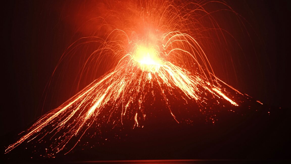
The first telegram arrived in Singapore on a Monday, sent from the city of Batavia in the Dutch East Indies (now Jakarta, Indonesia). Soon afterward: “Stones falling. Village near Anjer washed away.” The wires continued clattering out news of bridges destroyed, boats smashed, lighthouses “disappeared.” By noon on Tuesday, the scope of the natural disaster was clear: “Where once Mount Krakatau stood the sea now plays.” Within days, the source of the destruction was known worldwide.
On the morning of August 27, 1883, a volcanic eruption had obliterated two islands in the strait between Java and Sumatra, and most of a third. More than 36,000 people perished, the majority in devastating tsunamis that raced outward from the colossal explosion. Thanks to Victorian-era telecommunications, it was the first time in history that people around the globe could begin to document, in near real time, the immediate and long-term effects of a catastrophic volcanic eruption.
What they learned over the next few years laid the foundations for the modern science of volcanology. And it was an especially eye-opening lesson in how the biggest eruptions can influence climate, agriculture, and even the course of human history. In the months after Krakatau, drifting volcanic particles high in the atmosphere circled the globe, causing violently colored sunsets that contemporary artists captured in paintings, likely including the psychedelic background of Edvard Munch’s The Scream.
But the key climate-driving component of the volcano’s emissions was sulfur from the molten rock that fed Krakatau. Once sulfur erupts into the atmosphere, it can form particles called aerosols that reflect sunlight and cool Earth. In the months and years after the eruption, average summer temperatures fell 0.6° Celsius (1.1° Fahrenheit) in the non-tropical regions of the Northern Hemisphere.
Extract — continue reading at the source.