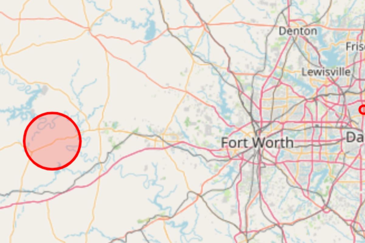
A fast-moving wildfire in North Texas exploded to around 50,000 acres on Tuesday, prompting evacuations across two counties as federal aviation officials impose flight restrictions over the fire zone. The Ross Fire, burning across Palo Pinto and Jack counties west of Fort Worth, is only 5 percent contained as of early Tuesday. The blaze began Monday afternoon near Highway 180 and Ross Watson Road before rapidly pushing north, with the Texas A&M Forest Service warning that it had "large growth potential." The fire was at around 10,000 acres late Monday before expanding dramatically overnight.
Highway 180 was also closed as the flames spread. Jack County Emergency Management issued an immediate evacuation warning at 2:41 a.m. CDT Tuesday, as the wildfire spread north through the county.
The agency's official social media page carried the fire warning early Tuesday. The county said Farm to Market Road 4 had been shut down and directed residents to evacuate east on County Road 2210 toward Highway 281, warning people not to travel west toward FM 4. An evacuation center was opened at the Twin Lakes Recreation Center on Highway 59 in Jacksboro, according to the county alert.
"Residents in these areas are asked to evacuate due to a rapidly spreading wildfire. Do not drive into smoke," Jack County Emergency Management said. In Palo Pinto County, the Sheriff's Office issued a separate public safety announcement late Monday advising residents north of Fortune Bend Road, extending north to Highway 16 North at FM 337, to evacuate as a precaution.
The sheriff's office said the advisory was not a mandatory evacuation at that time, but strongly encouraged residents to leave, particularly those who might need additional time or assistance. Officials warned residents to remain alert as conditions could change. The Federal Aviation Administration has also imposed a temporary flight restriction over the Ross Fire area as aircraft are used in firefighting operations.
The FAA's current restriction, FDC 6/7630, is about one nautical mile west of Palo Pinto and covers airspace from the surface to 5,500 feet above mean sea level. It took effect at 12 p.m. UTC Tuesday, and is scheduled to remain in place until 2 a.m.
Extract — continue reading at the source.