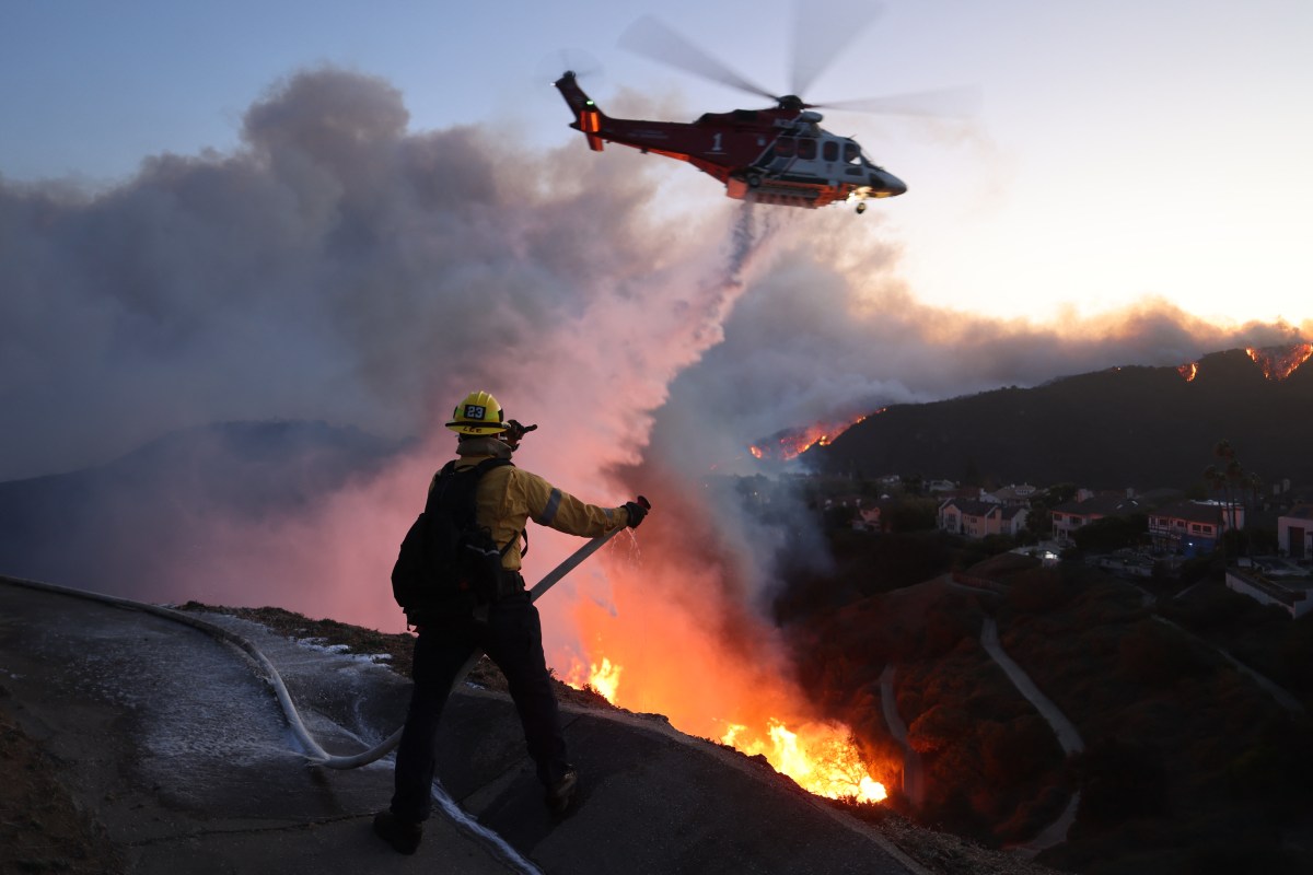
A strengthening El Niño could produce a regional divide in wildfire danger, suppressing fire activity across much of the southern and western United States while potentially increasing the threat along parts of the northern tier. The National Oceanic and Atmospheric Administration’s (NOAA) Climate Prediction Center (CPC) said on August 13 that there was a greater than 90 percent chance of a “very strong” El Niño during fall and winter 2026-27. It also placed the probability of a historic event, exceeding the strength of all previous El Niños in records dating to 1950, at 69 percent for October through December.
It is commonly used to describe an exceptionally strong event. The CPC cautioned that although an El Niño of this magnitude increases the chances of characteristic weather impacts, those effects are not guaranteed. El Niño is the warm phase of the El Niño-Southern Oscillation, or ENSO, a natural climate pattern in the tropical Pacific that shifts irregularly every two to seven years.
ENSO changes can shift normal wind and rainfall patterns in the tropics and affect weather in other parts of the world, according to NOAA. A typical El Niño winter tends to produce wetter-than-normal conditions across the southern U.S. and warmer, drier weather across parts of the North. The CPC expects the event to strengthen through the end of this year.
AccuWeather meteorologist Chad Merrill told Newsweek that a very strong El Niño normally directs above-average precipitation into California, Great Basin, Southwest, southern Plains and parts of the Southeast and East Coast. For the West, however, that does not necessarily mean an immediate end to the danger. Merrill expects the fire season to begin with “very high threats” before the likelihood of wildfires falls quickly by early October.
The potential benefit is not evenly distributed. Merrill identified a corridor from northern Montana through the Dakotas, Great Lakes and Northeast where fire danger could increase during the fall because precipitation is typically below average there during a strong El Niño. Central and South Florida may also experience a slight, temporary increase in risk through roughly mid-October, Merrill said.
Rain can initially bypass those parts of the state, he explained. Merrill said one major uncertainty is the Pacific Decadal Oscillation (PDO), a longer-lived pattern that was in its cool, or negative, phase. In his assessment, a strong El Niño combined with a negative PDO could make the Northwest and northern Rockies wetter or snowier while leaving Southern California and the Southwest drier.
Extract — continue reading at the source.